Generate a site plan and hyperrealistic facade from map and Street View.
What site and facade does
One workflow: site plan from a map capture and a hyperrealistic facade project from Street View or similar.
Who it is for
Architects and developers who need plot and facade visuals for clients or permit packs.
Credits and how to start
Follow the wizard (map / Street View), generate site plan and facade. Uses credits by plan.
Mix&Design case: from a map capture to a site plan
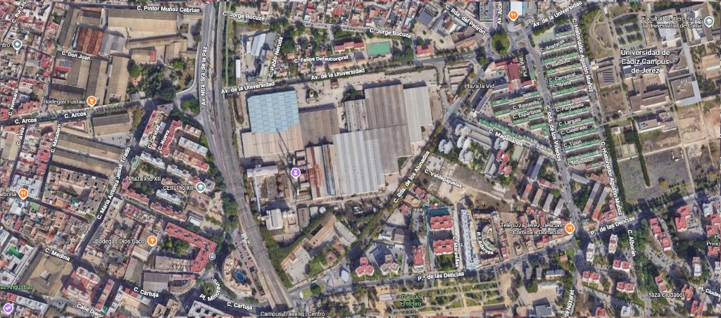
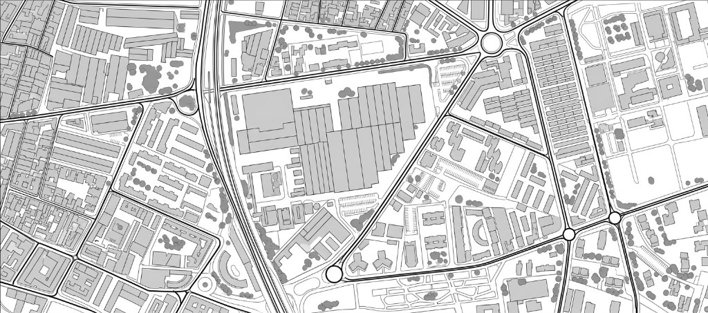
Real project (September 2026). A Google Maps satellite capture (Jerez, around Av. de la Universidad). Site & facade generated a line site plan, faithful to the street grid, sheds and roundabouts.
24 September 2026 · Mix&Design
Input: satellite capture of the surroundings.Result: site plan faithful to the map.
This is an indicative sheet. It is not a cadastral plan or a permit document. Check alignments, plots and any street or building the tracing simplifies.
Mix&Design case: from Street View to a Tadao Ando facade
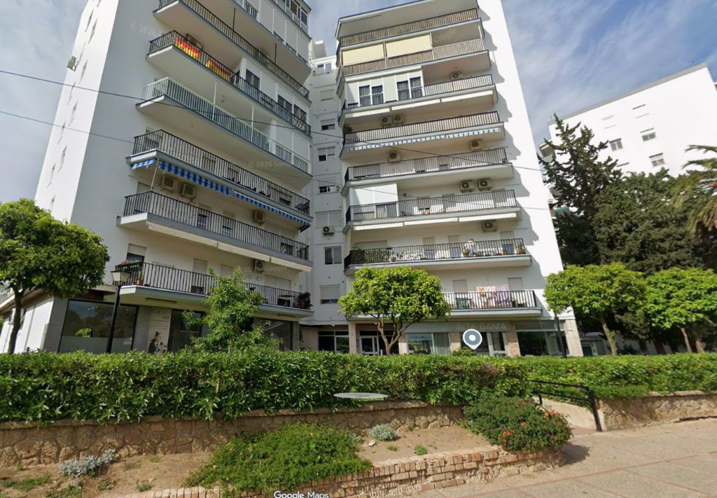
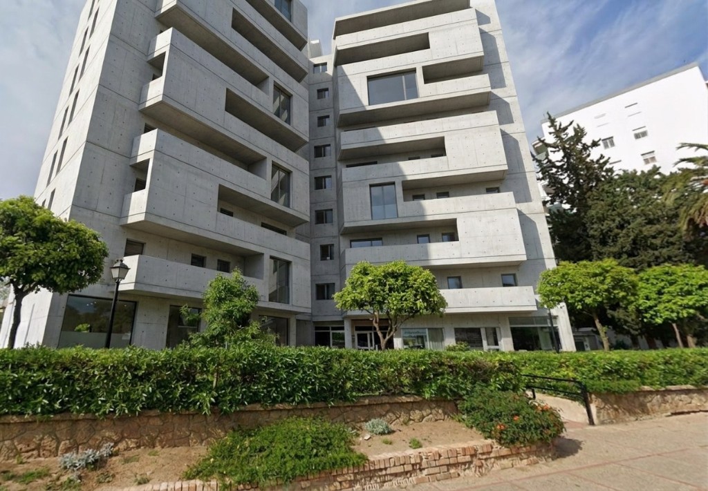
Real project (September 2026). A Google Street View capture of a white block with terraces and awnings. Site & facade (street facade) previewed a fair-faced concrete finish in the Tadao Ando manner: the same trees, hedge, lamp and white neighbour.
24 September 2026 · Mix&Design
Input: Street View of the block.Result: fair-faced concrete facade, same pavement and planting.
This is a facade visualisation. It is not a construction elevation. In this run awnings and air-con units disappear and the terrace rhythm is simplified. Check openings, party walls and anything that should stay on the street.
Frequently asked questions
Do I need to visit the plot?
Not necessarily—the flow uses map and street views. Your own photo can complement when useful.
Is the site plan official?
It is an indicative visual aid; it does not replace survey plans or signed planning documents.
How are generations billed?
With subscription or pack credits. See /en/pricing.
Next step
Facade renovation — If you already have a facade photo and want another finish, use renovation.
Aerial from satellite — For a photoreal oblique of the same surroundings, not a line plan.